Breadcrumbs
Events Calendar


To Monday 13 June 2022
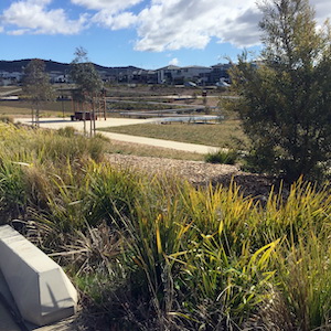 Go West is a virtual 4-hour rogaine in Western Creek, Canberra. It includes bush areas in the Molonglo River corridor, Mount Stromlo, Narrabundah Hill and Cooleman Ridge, as well as the suburbs from Denman Prospect to Fisher. The start location is at Duffy Oval, right in the centre of the map.
The official virtual event ran between Saturday 28 May and midnight on Monday 13 June. Congratulations to overall winner Christopher Bradley with Tim Cochrane close in second place. Full results at the link below.
While the official event is finished, the course is still open. The course uses the MapRun app on your phone or watch to record your visits to control sites; there are no controls flags. The following links will provide you with PDF versions of the map, control descriptions and course setters notes. Make sure you download all three documents.
Go West Virtualgaine control descriptions
Go West Virtualgaine course setters notes
You will need the latest version of the MapRun app installed on your phone. See the virtual events page for instructions and a link to download the app.
Brief notes on the course
Please donwload and read the full course setters notes too.
The start point is at Duffy oval, at the path junction on the eastern side of the carpark where a short path leads to the amenities building on the oval. The course has 45 controls worth a total of 2250 points. The controls are spread over a wider area than the 2021 Mount Ainslie virtualgaine. The distance to clear the entire course is about 38 km. You may be able to get 2000 points for about 30 km travel. Because there are no control flags, you'll need to navigate carefully and pay attention to the control descriptions, which give precise locations.
For a successful, safe and fair event:
- Keep out of private property. In particular, the area marked in purple on the west side of the map is explicitly out of bounds, so plan your route accordingly.
- The cycle and running tracks at Stromlo Forest Park are also marked in purple and out of bounds. Control 54 can be approached from the east or north via gates on Uriarra Road.
- Obviously residential land is also out of bounds – do not go across people’s gardens.
- Do not try to wade across the Molonglo River. Access to controls 50, 74 and 100 is only via the bridges at 61 and south of 50.
- Cross roads with care. Use crossings, underpasses or traffic lights where possible, especially on Hindmarsh Drive, John Gorton Drive and Streeton Drive.
- In the Mount Stromlo area, watch out for mountain bikes, and avoid using mountain bike tracks. Take care wherever bike tracks cross the main tracks. In particular, be very careful if using the track that goes NNE from 71 where it crosses the spur – bikes cross the track very fast and are hidden by a tunnel.
- Cows grazing on Narrabundah Hill have made the ground soft and muddy in May 2022, so take care approaching controls 60 and 80. The cows are reportedly friendly though.
- Apart from your phone or watch running the MapRun app, GPS instruments, altimeters and pedometers are not allowed. You may only use the map provided and your compass.
- You must complete the course on foot. Bikes and other means of transport are not allowed.
You’re responsible for your own safety. So plan as you would normally for a run or bushwalk. Make sure you carry enough water for your needs.
| Contact | Julie Quinn via Committee contacts page
|
| Coordinator | Julie Quinn |
| Setters and Vetters | Jon Glanville |
| Map Maker | |
| First Aid | Self administered |
| Control Collection | Not required |
| General Help | Not required |
| Catering | Self catered |